 Reno
Reno 
 North West Tahoe Back Country
  North West Lake Tahoe
  Zoom Out
Tahoe National Forest - North
Soda Springs to N. Tahoe directions
Zoom Out
Tahoe National Forest - North
Soda Springs to N. Tahoe directions
| Truckee - Tahoe City Area | |
|---|---|
| Main > Maps | |
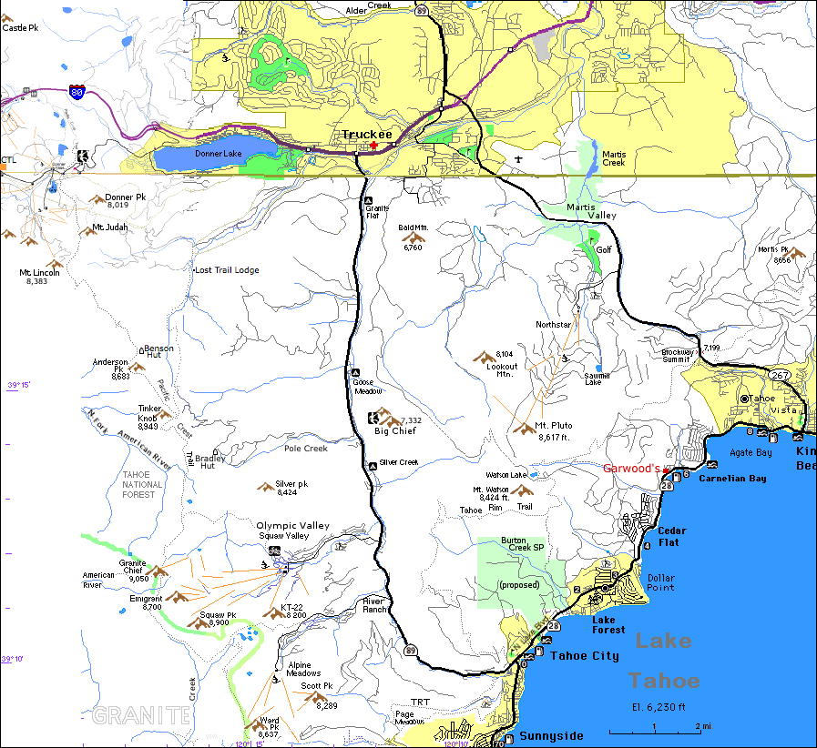
Donner Lake Truckee Hwy 89 & 49 North(May need to print at 75% to fit in 1 page)
Distance from I-80 & 89 S. (Truckee) to:
Reno:         32 mi.
Squaw Valley: 11.5 mi.
Tahoe City:   14 mi.

Return to: Tahoe West Shore Information : Tahoe Maps