 -Foothills
  -I-80 and Tahoe West Shore -Nevada Tahoe
 -Southern Sierra Nevada
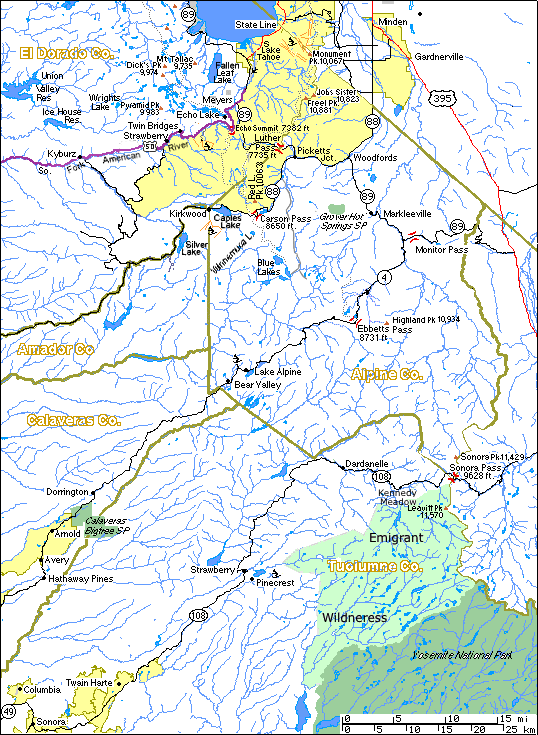
| Hwy | Pass | Elev. |
|---|---|---|
| I80 | Donner | 7,085 |
| 50 | Echo | 7,382 |
| 88 | Carson | 8,650 |
| 4 | Ebbitts | 8,731 |
| 108 | Sonora | 9,628 |
| 120 | Tioga | 9,943 |
| 58 | Tehachapi | 3,739 |
El Dorado Co.
Alpine Co.
Amador Co. at AmadorNet, AmadorCounty.com
Calaveras Co.
Tuolumne Co. at Chamber of Commerce, Visitors Bureau
Stanislaus National Forest
See Also: Grover Hot Springs State Park Calaveras Bigtrees State Park Yosemite National Park: NPS Page, Index at Yahoo Ski Areas: Heavenly Valley Kirkwood Sierra At Tahoe Bear Valley Dodge Ridge Scenic Highway 50 in the El Dorado Natl. Forest
See printing tips.Return to: Tahoe West Shore Information : Tahoe Maps