
 Bay Area Zoom Out Google Map
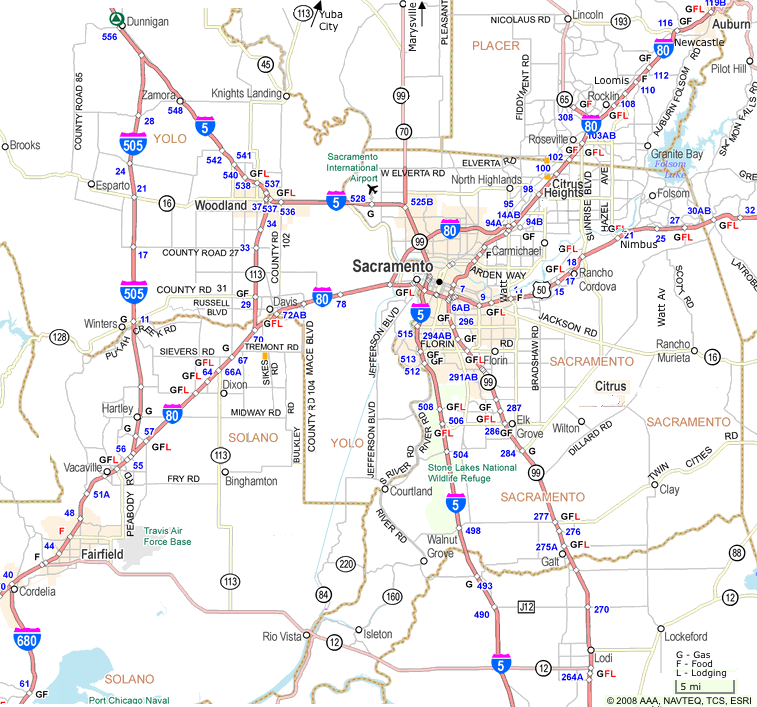
                                                                          Auburn - Reno


 Bay Area   Zoom Out    Google Map
| Location [Exit] |  
| Elev- ation | Popul- ation | Comments |
|---|---|---|---|---|
| Newcastle [115] | 69.4 | 399 | Gas, Food | |
| Loomis [110] | 74.6 | 399 | 1,284 | Gas, Lodging, Food |
| Rocklin [108] | 77 | 248 | 27,214 | Gas, Lodging, Food, Shopping Center |
| Roseville [103-105] | 80.2 | 159 | 62,649 | Gas, Lodging, Food, Hospital |
| Sacramento | 100 | 407 K | Gas, Lodging, Food, Hospital | |
| Davis [72] | 112.3 | 60,300 | Gas, Lodging, Food, Hospital | |
| Sacramento Airport off of I-5 N. | 106 | |||
| San Francisco Airport off of 101 S. | 194 |
See:
I-80 corridor Plan; Working Paper Number 4 - Study Approaches at SACRAMENTO AREA COUNCIL OF GOVERNMENTS (SACOG.org)
Map with Hotels at discovergold.org
Sacramento Area Page