 Places
 California
 Fires
Fires
 2022 North Central California Fires
See also :California Fire History | Air Quality
Don's Home
 Places
 California
 Fires
Fires
 2022 North Central California Fires
|
|
Previous years maps: 2021 | 2020 See also :California Fire History | Air Quality |
I've stopped showing updated maps here.
The Federal Government created InciWeb to do what I was doing combining the Cal Fire and Forest Service information.
See InciWeb - National Wildfire Coordinating Group (NWCG) - incident information system" | inciweb.nwcg.gov
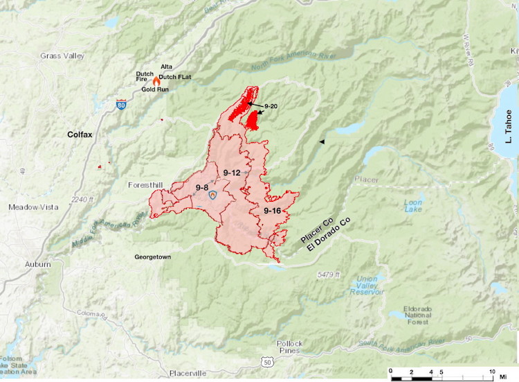
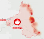
However I am monitoring the Mosquito fire because of friends in the area and the Caldor fire last year started at about the same longitude and went into South Lake Tahoe.
California's fire season typically runs from July to December, but September through November are especially deadly.
Information on current fires:
| Date | Contained | Acres | Evacuated | Structures destroyed |
|---|---|---|---|---|
| Sept 6 | started | 0 | ||
| Sept 8 | 13,705 | 6,000 | 0 | |
| Sept 12 | 10% | 46,587 | 11,000 | |
| Sept 16 | 20% | 71,292 | 11,000 | 73 |
| Sept 20 | 39% | 76,290 | 244 | 78 |
| Sept 25 | 85% | 76,781 | 78 | |
| Oct 22 | 100% | 76,788 | 78 |


Satelite infrared heat detection map Sac Bee
Air Quality PurpleAir
Placer County Evacuations PUBLIC Interface
Updates and map at The Lookout a private Chico based fire monitoring site. YouTube updates
Other Links:
Cal Fire Incidents near Homewood
Cal Fire Ready for Wildfire
National Fire News | National Interagency Fire Center
The National Alliance for Public Safety GIS (NAPSG) #FireMappers
CAL Fire Twitter with Red Flag Warnings
Air Quality
Real-time Air Quality Maps | PurpleAir
Air Quality Map | AirNow EPA
About Air quality