Lake Tahoe South Shore | |
---|---|
Main > Maps > Region | |
Contents: Map, Information and references.
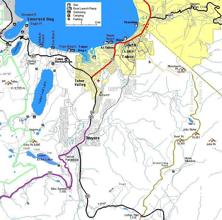
SW Tahoe Region Nevada Tahoe South to Yosemite | |
Reference Sites Lake Tahoe Visitors Authority Chamber of Commerce Maps Tiger Map at tahoeinfo.com Bike Trails Camp Richardson |
Cities City, ZIP, [Mileage Marker] (Population) Echo Lake, 95721 Fallen Leaf, 96151 South Lake Tahoe, 96150 [45] (21,586) Camp Richardson [47.5], Tahoe Valley [45], Tahoe Keys [46], Tahoe Paradise, Al Tahoe, Bijou, Myers Stateline, NV, 89449 (1,379) |
Sites Casinos Stream Profile Chamber at Taylor Creek Visitor's Center. Ehrman Mansion at Sugar Pine Point State Park Balancing Rock at D. L. Bliss State Park Old Lighthouse at D. L. Bliss State Park Vikingsholm at Emerald Bay Eagle Falls - Lower part accessable from Vikingsholm trail; Upper part from Eagle Lake Trail. Mt. Tallac - See Sitewalk San Francisco Tallac Historic Site - See Sidewalk SF Cross Coutnry Ski trail Desolation Wilderness
Return to West Shore Info | About these pages and help.