Donner Summit
Trails
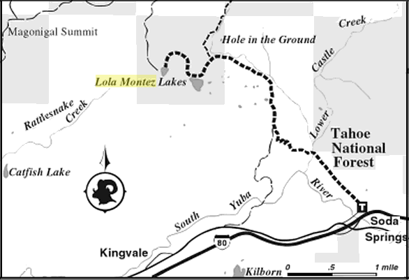
Lola Montez
Donner Summit
Trails
Lola Montez
|
Tahoe
Donner Summit
Trails
Lola Montez
|
|
Lower Lola Montez 3.5 miles one way with about 700 ft of elevation gain.
Trail Profile:
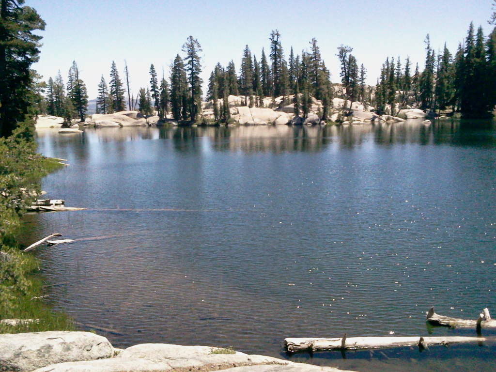
Trail lies mostly across private lands using private roads (please respect owners' property rights) until nearing the lake and entering a "motor vehicle restricted area." The last segment leads by a lovely meadow where it connects with Hole in the Ground Trail. Together these two trails offer an epic sized, popular mountain bike loop. From the meadow the trail winds through the forest for 0.25 mile to the lake. Fishing for rainbow in Lower Lola Montez Lake is relatively good (stocked in 2000), but it is known for 10"-15" Brookies that can be caught best in the fall. See nearby Upper Lola Montez Lake for access via the Rattlesnake Road. Also, Upper Lola Montez Lake can also be reached via a moderately difficult 0.3 mile scramble that climbs 400' in elevation from the Lower lake. Several user trails wind cross-country to the top of the ridge lying to the west between the two lakes.
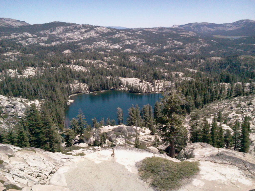
Upper Lola Montez: To get there follow a ducked route (route with cairns) which starts form the northwest shore of Lower Lola Montez and goes over granite boulder and slaps requiring some scrambling. A granite knoll partway up the climb allows fine views. About 0.6 mi. with 415 ft of elevation gain.
Off Highway Vehicles (OHV) can get there via Rattlesnake Rd., a 10 mile OHV road from Soda Springs.
Source: Afoot and Afield: Reno-Tahoe: A Comprehensive Hiking Guide, by Mike White
Upper Lola Montez
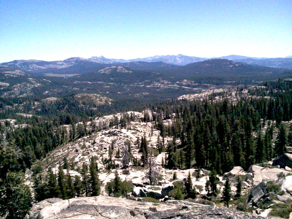
View from Upper Lola Montez
Links: |